|
Kvemo kartli
|
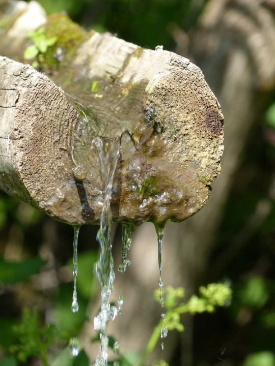
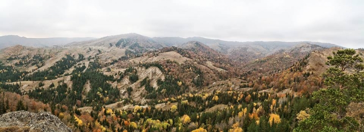
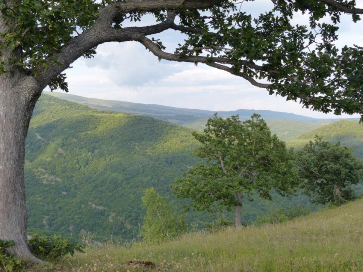
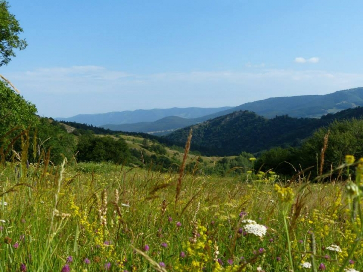
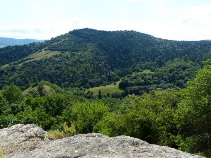
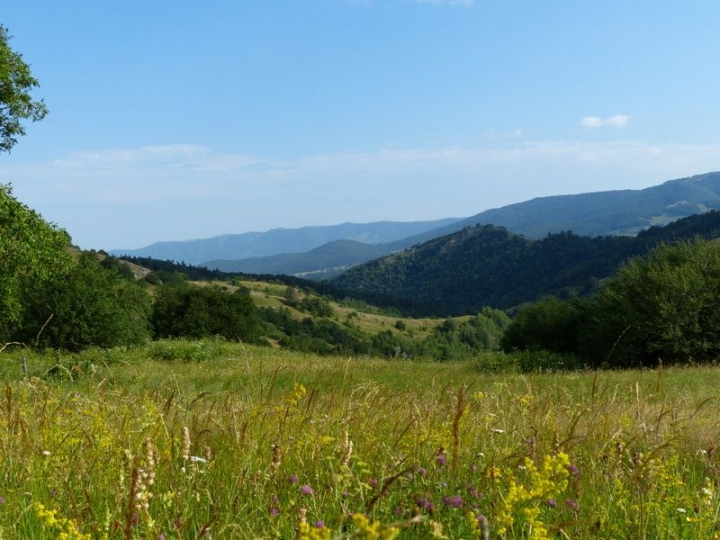
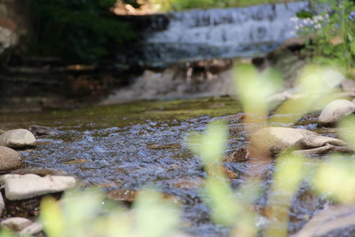
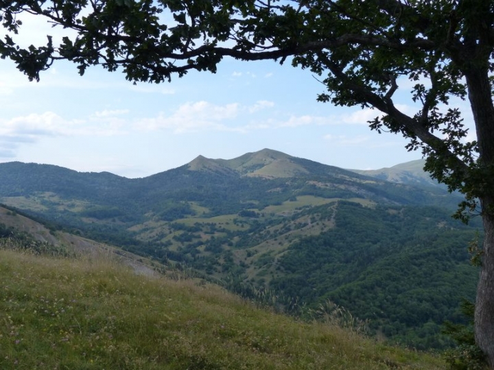
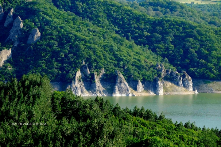
Algeti National Park is located in Tetritskaro district. It comprises the southern slopes of the eastern area of Trialeti mountain range in the Algeti river gorge and is located at an altitude of 1,100-1,950 m above sea level.
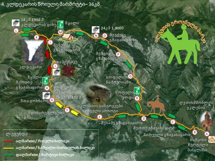
The main entrance of the national park is located near the Cathedral of the Assumption of the Virgin Mary of Manglisi. Algeti National Park Administration has a small infrastructural unit – a picnic area with auxiliary buildings. A tourist trail called “Sanepo Ridge” starts from the cathedral and includes a visit to the picnic area. It is possible to hire a guide and horses to enjoy the visit to its fullest. Visitors can visit the national park at any time of the year, though it is much more difficult in winter due to heavy snow.
Distance:
-
From Tbilisi to Manglisi 56 km (1hr and 30 min by car).
Travel with Public Transport:
-
Minibuses and private taxis leave every day from Tbilisi Central Railway Station (minibus - 4 lari, private taxi - 5 lari, 1 hr and 30 min).
-
Algeti National Park has only one marked trail: Samepo Ridge
-
16 km, 6-8 hr, pedestrian, difficulty: average /
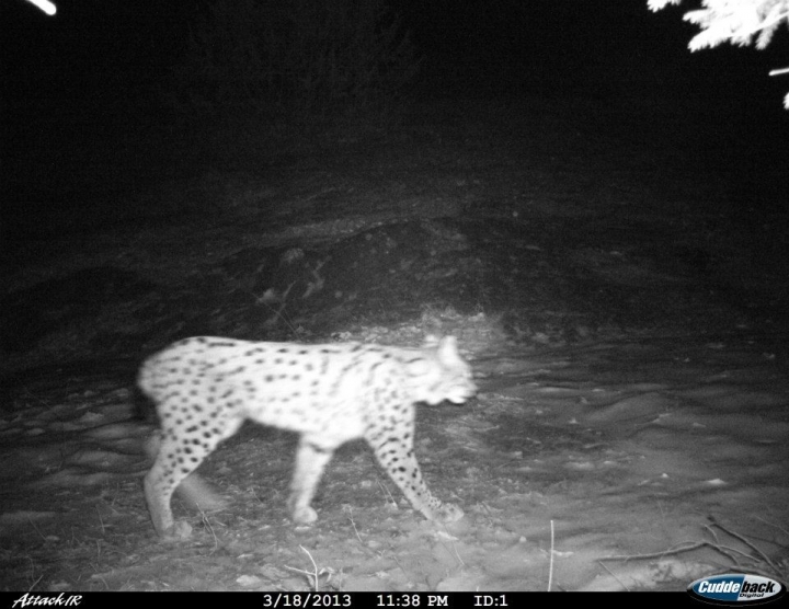
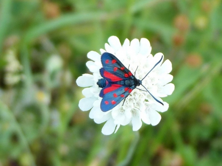
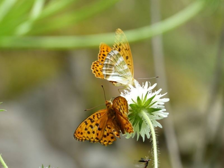
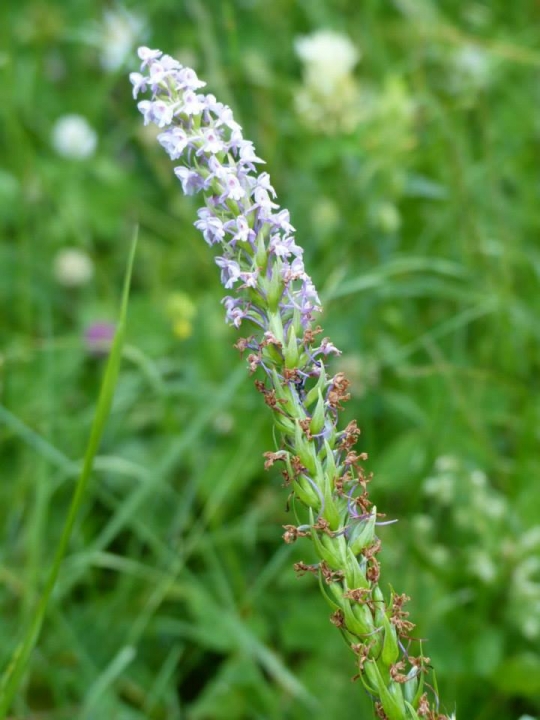
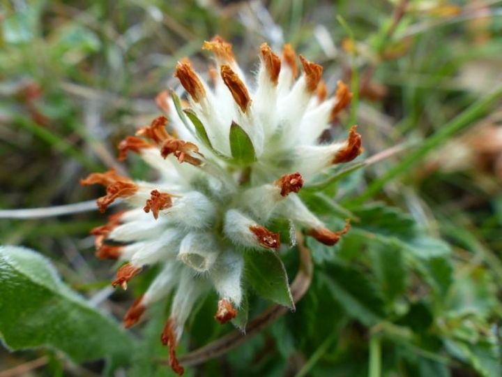
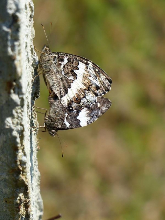
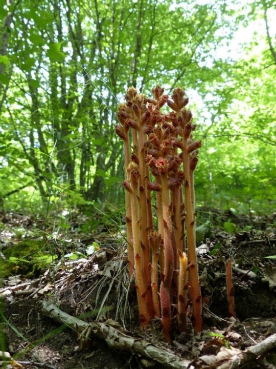
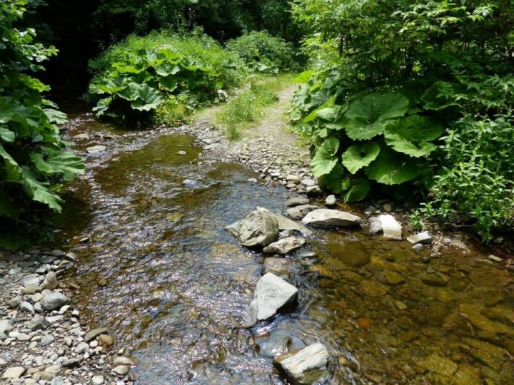
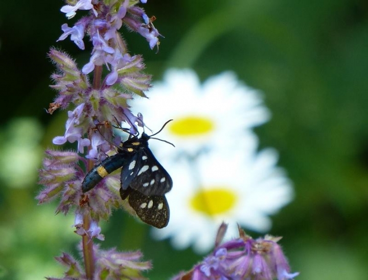
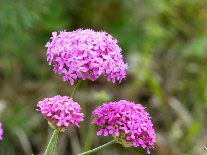
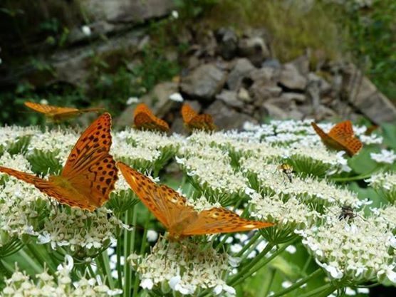
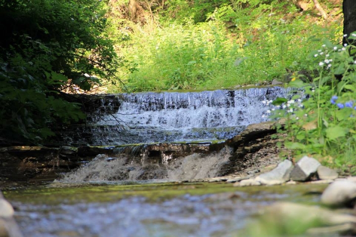
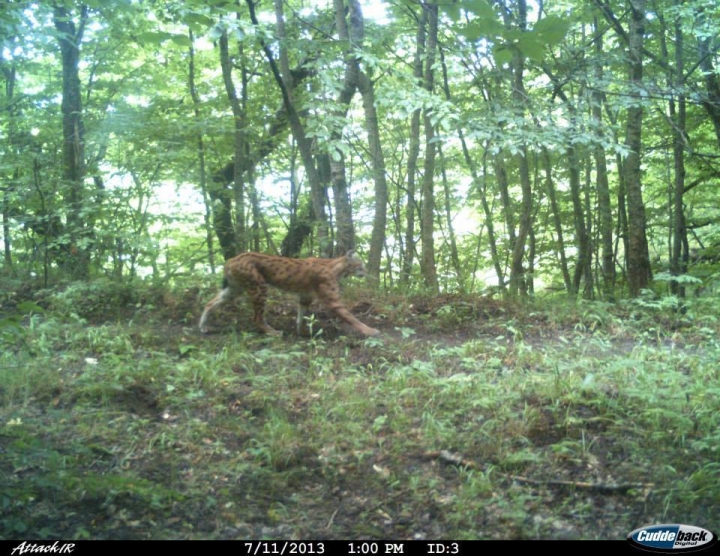
The route starts from Manglisi borough in the direction of the picnic area, via Martalkhevi until village of Didi Namtvriani and back to Manglisi via Sanepo Ridge. The trail is marked with blue and white color. Scenic viewpoints along the route offer amazing views of mixed forest-covered hilly landscape of Algeti National Park. While on the trail you may come across deer, rabbit, wild boar and various species of birds.
Video Gallery
ფოტო გალერეა
|
 GEO
GEO ENG
ENG RUS
RUS Forum
Forum