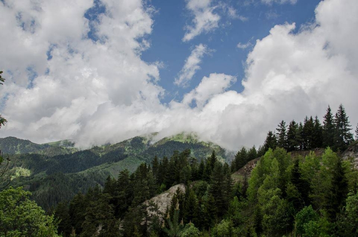
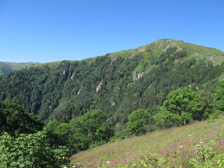
Borjomi-Kharagauli National Park is located in central part of Georgia and creates eastern part of lesser Caucasus Mountains. The total area amounts to 85,083 ha, which is more than 1% of the territory of Georgia. Borjomi-Kharagauli Protected Areas includes 6 districts - Borjomi, Kharaguli, Akhaltsikhe, Adigeni, Xashuri and Baghdadi. Administrative and visitors centers of the national park are located in Borjomi and Kharagauli. The park administration manages 4 various types of protected areas – Borjomi Nature Reserve, Borjomi-Kharagauli National Park, Nedzvi Managed Reserve and Goderdzi fossil forest Natural Monument.
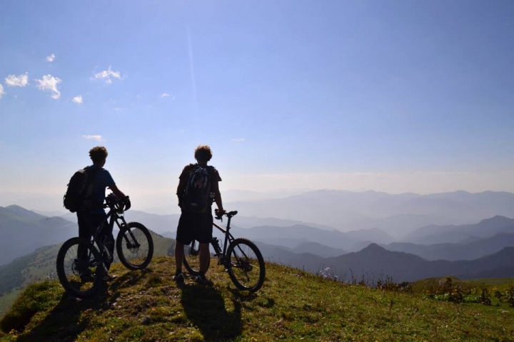
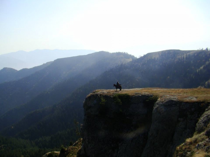
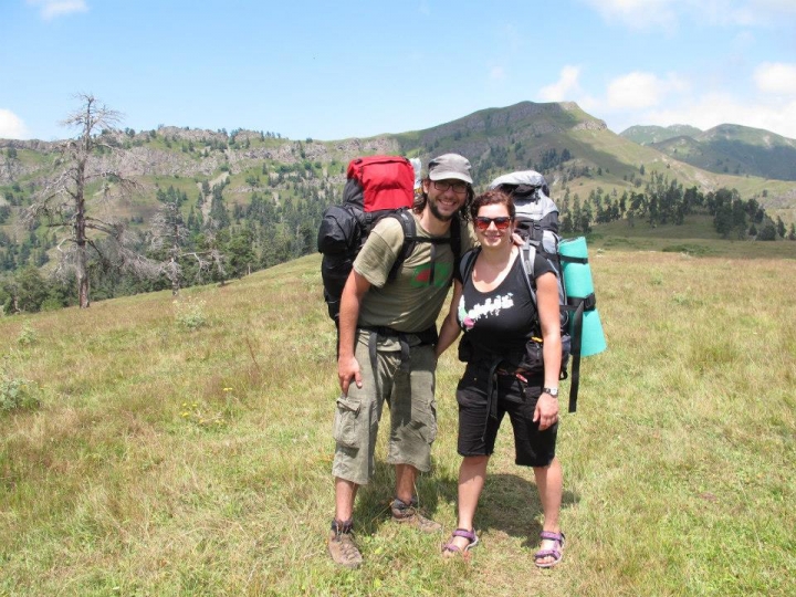
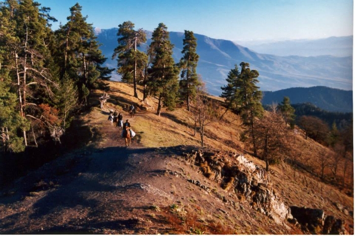
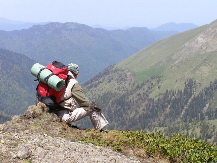
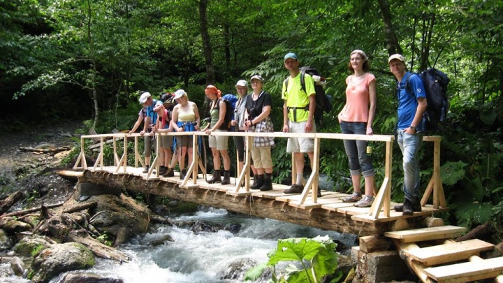
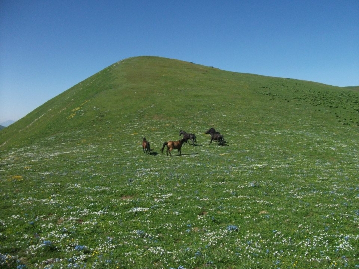
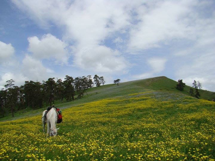
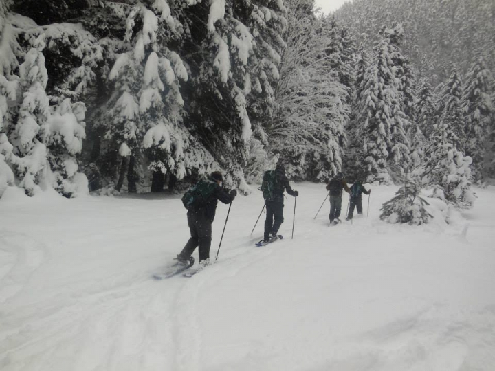
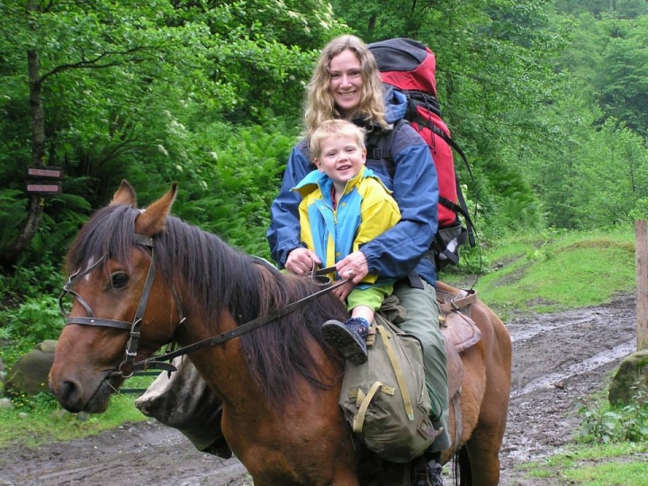
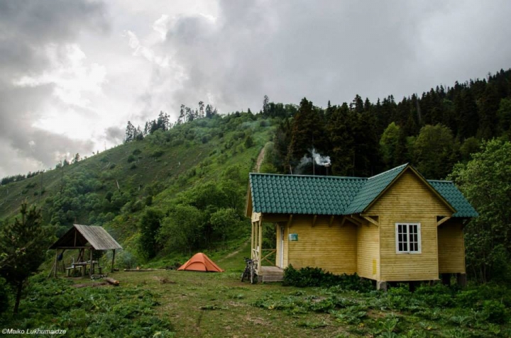
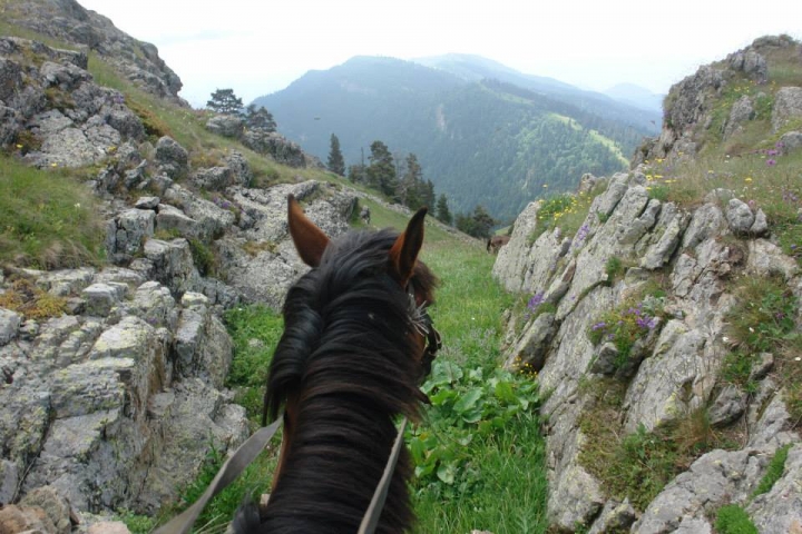
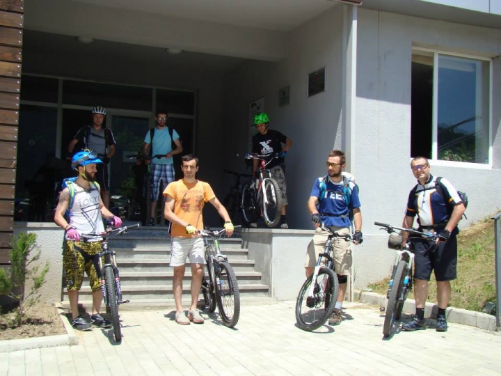
Borjomi-Kharagauli National Park tourist route network allows hiking for one or several days. Tourist route network is up to 400-2,642 meters. Paths are marked and well-arranged. Tourist shelters, picnic spots and camping sites are arranged along the routes. Sites for setting up a fire are also allocated. National park offers hiking, horse riding, biking, snow shoes, cultural and educational tours. The routes function throughout the year.
The National Park visitors’ center will help you in organizing guide, horse or local transport.
How to get to the protected area ?
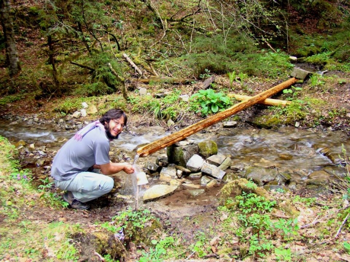
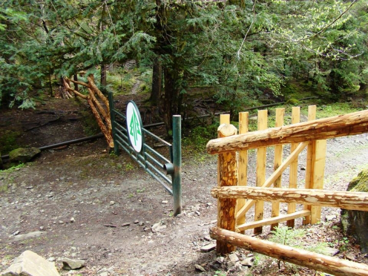
Before visiting Borjomi-Kharagauli National Park it is recommended to check-in at visitor centre. Registration is required not only to define visitor statistics but also to ensure the safety of visitors, because in this case the administration is aware of presence of a group of visitors. In addition visitor can observe the exhibition hall for free, get visitor service and hire necessary tourist equipment.
Borjomi-Kharagauli National Park has two Visitor Centers - one in Borjomi, and another one in Kharagauli. Borjomi Visitor Center is located in Borjomi, Meskheti st. N23; Kharagauli Visitor Center is located in Kharagauli borough, Solomon King st. N17.
Distance
-
Distance: from Tbilisi to Borjomi - 160km (2 hr by car)
-
From Tbilisi to Kharagauli borough - 180 km (3hr by car)
Travel by public transport
-
Minibuses from Didube Bus Terminal to Borjomi leave every day, every hour (8 Gel, 2 hr)
-
Minibuses from Didube Bus Terminal to Kharagauli leave every day, twice a day (10 Gel, 3 hr and 30 min)
-
Trains from Central Railway Station to Borjomi leave every day (2 Gel, 4 hr and 30 min)
-
Trains from Central Railway Station to Kharagauli leave every day. (4-10 Gel, 3 hr and 30 min)
Other entrances of the national park:
Except the central entrance of the visitor center, the entrance is possible from the following entries:
-
Likani – Borjomi visitor center 5 km;
-
Village Kvabiskhevi - Borjomi visitor center 15 km;
-
Village Atskuri - Borjomi visitor center 27 km;
-
Village Zanavi - Borjomi visitor center 6 km;
-
Abastumani borough - Borjomi visitor center 80 km;
-
Village Marelisi - Borjomi visitor center 17 km;
-
Village Nunisi - Borjomi visitor center 27 km.
Please note that ranger stations are arranged along the mentioned entries which only control the entrance and exit of visitors and you will not be able to check-in or hire necessary tourist equipment there.
Contact person:
Levan Tabunidze, Director of Borjomi-Kharagauli National Park Administration
Tel.: 577 10 18 95; E-mail: ltabunidze@apa.gov.ge
Gaga Mumladze, Visitors Service Specialist
Tel.: 577 64 04 80; E-mail: gaga_mumladze@yahoo.com
Lika Kalmakhelidze, Ecotourism Specialist, Head office
Tel.: 577 90 72 72, E-mail: info@apa.gov.ge
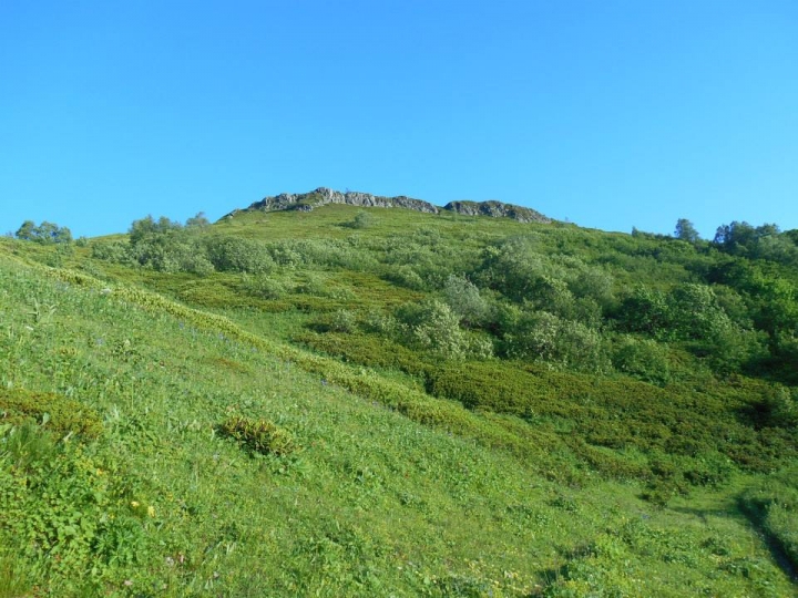
Borjomi-Kharagauli National Park has 11 trails, arranged with support from the German Government and the World Wildlife Fund (WWF).
1. Nikoloz Romanov's Trail:

/ 43 km, 3 days, pedestrian and horse riding, difficulty: average /
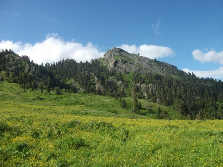
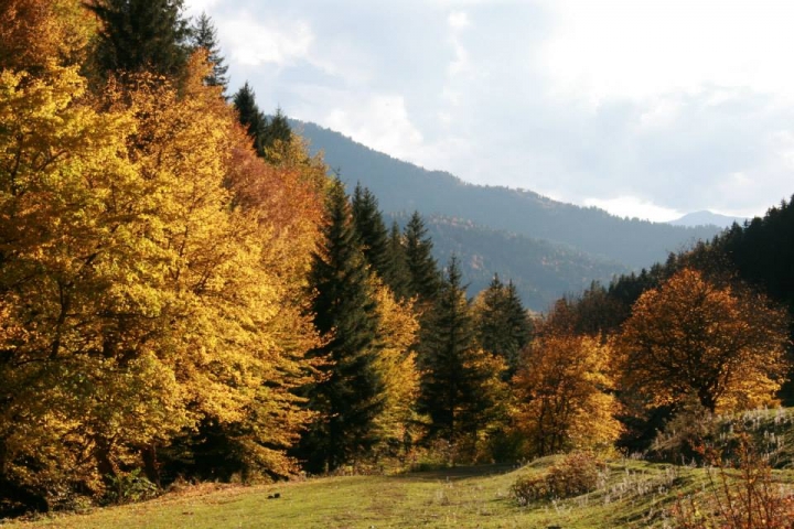
Main attractions: Coniferous and mixed forest, Lomi Mountain, Lomi St. GiorgiChurch, scenic viewpoints with scenery of Caucasus, Colchic sub-tropical forest.
Overnight – in tourist shelters: “LomisMta“ and „Sakhvlari“, in tents. The route crosses the national park from Likani (Borjomi district) to Marelisi (Kharagauli district).
The trail starts from theLikani guard station (930 m above sea level) and ends at the Marelisi guard station (540 m) (or vice versa). Likani guard station is located 5 km from the National Park Visitor Center. The total length of the trailis 43 km. It starts in theLikaniRiver valley where visitors come across rare species included in the Red List of Georgia.
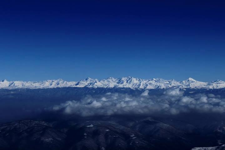
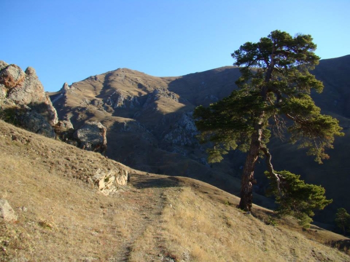
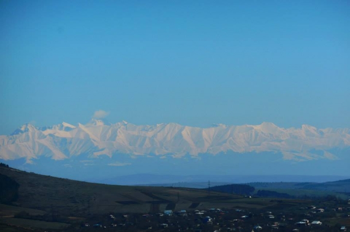
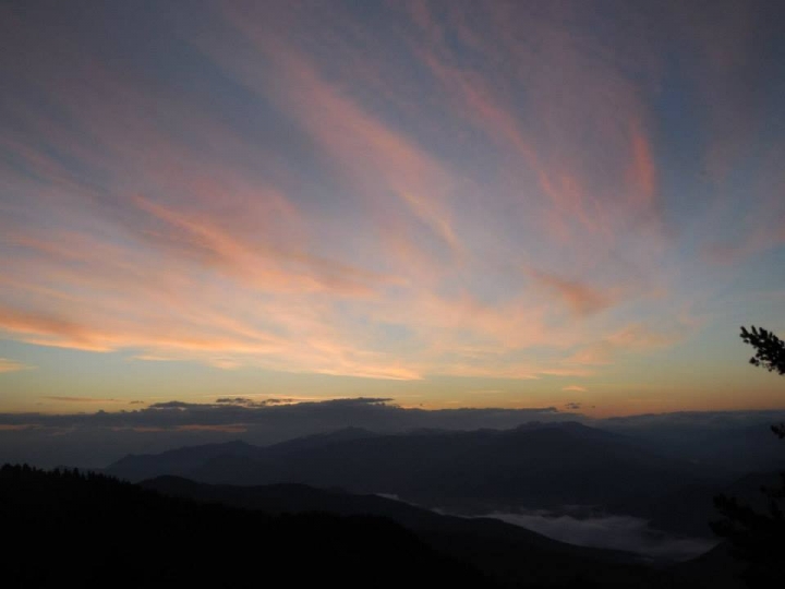
The first overnight is possible in the tourist shelter of Lomismta. The next day the trail goes up the ascent to the top of Lomismta (2,198 m above sea level). The trip requires 1.5 hr. In good weather it is possible to see the highest peak of the Great Caucasus and Europe – Ialbuzi.
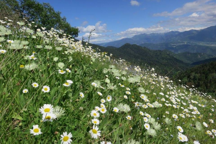
St. Giorgi church is located on Lomismta. In addition to beautiful views, there are flourishing rhododendrons in May and June.
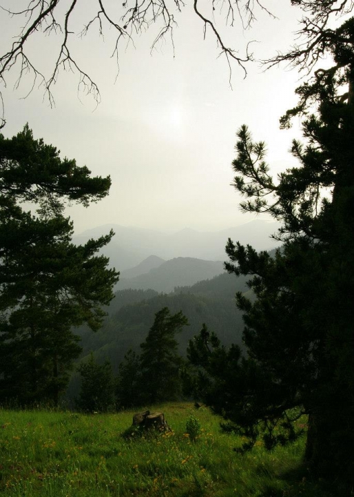
The trail goes along subalpine meadows and runs down the Colchic sub-tropical forest zone during the second half of the day. The trip ends at the Sakhvlari tourist shelter (1,025 m above sea level).
The trail goes along the ArjolaRiver valley and ends at Marelisi guard station.
Tentative schedule:
Day 1: Likani guard station – Lomismta tourist shelter 15 km, an average of 5-6 hr., overnight in tourist shelter or tent
Day 2: Lomismta tourist shelter - Sakhvlari tourist shelter 18 km, an average of 6-7 hr., overnight in tourist shelter or tent
Day 3: Sakhvlari tourist shelter –Marelisi guard station - 10 km, an average of 4-5 hr.
2. St. Andrew Trail:
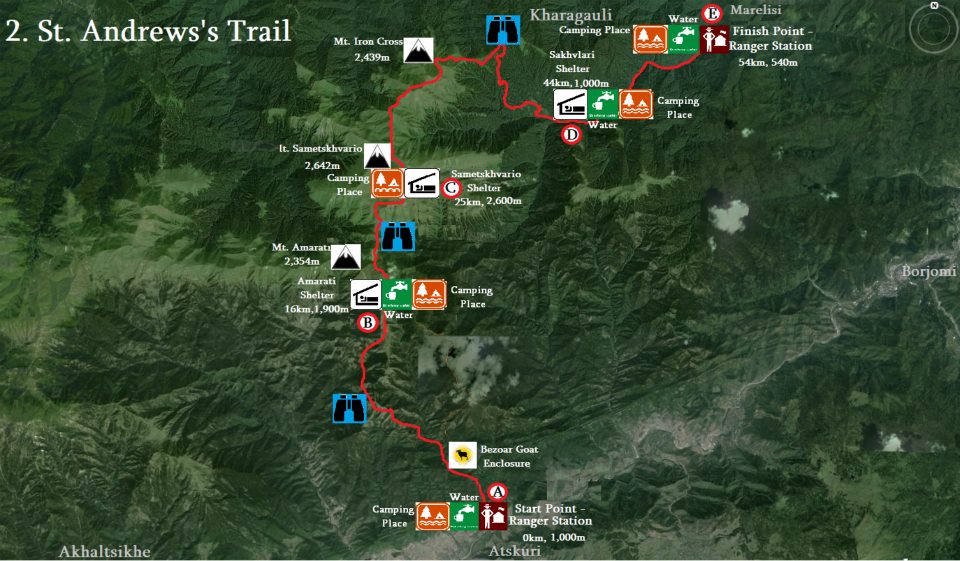
/ 54 km, 4 days, pedestrian and horse riding, difficulty: hard /
Main attractions: bezoar goat cage, mixed forest, highest peak of national park – Sametskhvario, Mountain Iron Cross, Colchic sub-tropical forest
The trail starts at Atskuri guard station (1,000 m above sea level) and goes through the Amarati tourist shelter, Sametskhvario guard and Sakhvlari tourist shelter and ends at Marelisi guard station or vice versa.
Atskuri guard station is 27 km away from the National Park Visitor Center.
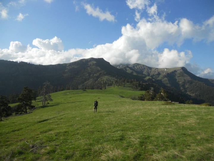
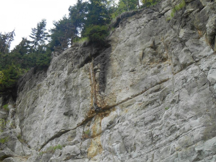
The length of the trail is 54 km. There are mixed coniferous, alpine and subalpine meadows and Colchic broad-leaved forests. The first section of the trail goes along a river valley followed by a narrow path up to mountain slopes. After 3 hours of hiking, the visitor will see the first panoramic scenery;The second half of the day follows the mountain slopes with beautiful panoramic views of the Lesser Caucasus.
After an overnight in theAmarati tourist shelter (1,900 m above sea level) the second-day route goes along subalpine and alpine meadows up to the highest peak of Sametskhvareo Mountain (2,642 m), afterwards it goes down 19 km. You will go through Mountain Iron Cross, where there was erected an iron cross according to legend. The third day hiking ends at Sakhvlari tourist shelter (1,025 m above sea level). The last day route follows the river valley and is the easiest one.
It is possible to add one overnight in Kvazvinevi ranger shelter or tents/
#2 St. Andrew trail ends at the Marelisi guard station.
Tentative schedule:
Day 1: Atskuri guard station – Amarati tourist shelter 16 km. on average 6-7 hr., overnight in tourist shelter or tents
Day 2: Amarati tourist shelter – Sametskhvario guard shelter 9 km. on average 4-5 hr., overnight in tourist shelter or tents (with two beds)
Day 3: Sametskhvario guard shelter – Sakhvlari tourist shelter 19 km. On average 7 hr., overnight in tourist shelter or tents
Day 4: Sakhvlari tourist shelter – Marelisi guard shelter 10 km. on average 4-5 hr.
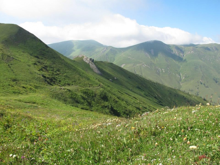
3. Panorama Trail:

/ 34 km, 2 days, pedestrian and horse riding, difficulty: hard /
Main attractions: bezoar goat cage, mixed forest of national park, panoramic views of Lesser Caucasus, Mount Amarati
Circular trail starts and ends at Atskuri guard station, 27 km away from national park visitor center.
The length of the trail is 34 km. it starts at Atskuri guard station in 1 km. You will come across the bezoar goat cage. Borjomi-Kharagauli National Park has a bezoar goat reintroduction project since 2006. The main purpose of the mentioned cage is to multiply this previously extinct animal and put it back in the national park. 20 min away from the bezoar goat cage the route goes left to a narrow path which goes up to a mountain slope. After 3 hours the route offers amazing views. The panorama trail is remarkable for its exceptional biodiversity and for its views of coniferous forests. Visitors will see footprints of animals such asroe, bear and wolf. There are shepherd’s summer cabins near the tourist shelter where you can find out about the lifestyle of the shepherds. The next-day trail continues to a panoramic trail which is exceptionally beautiful. The next-day trip is relatively long though the path goes mostly down. On the way you can visit the summer cabins of local shepherds.
Tentative schedule
Day 1: Atskuri guard station – Amarati tourist shelter 16 km. on average 6-7 hr., overnight in tourist shelter or tents
Day 2: Amarati tourist shelter - Atskuri guard station 18 km. on average 6-7 hr.
4. Untouched Forest Trail:

5. Zekari Overpass Trail:

/ 31 km, 3 days, pedestrian, difficulty: hard /
Main attractions: resort Abastumani, beautiful views of Zekari pass and colchic sub-tropical forest
The route starts at the Abastumani guard station (1390 m) on a car road and goes southeast;Afterwards, it turns to theAbastumaniRiver valley in the OtskheRiver valley. After 2.5 km the trail goes southeast in the direction of a steep slope (20-25 degrees inclination in some places). 6 km away from the mentioned turn you will reachthe Didmaghala tourist shelter, where you will spend a night and the next day after a 1.5 km walk the trail goes along the car road to Achara-Imereti range to the west. 10 km away from the tourist shelter the route goes through the Nasabajvari shepherd summer cabins and runs down the Otskhe River valley. The trail links to first day route and goes back to the Abastumani guard station.
Tentative schedule:
Day 1: Abastumani guard station – Didmaghala tourist shelter 8 km. on average 4 hr. overnight in tourist shelter or tents
Day 2: Didmaghala tourist shelter – Abastumani guard station 23 km. on average 7-8 hr.
6. Footprint Trail:

/ 13 km, 6 hr, pedestrian, difficulty: average /
Main attractions: panoramic views, sceneries of Kvabiskhevi canyon, Mariamtsminda church
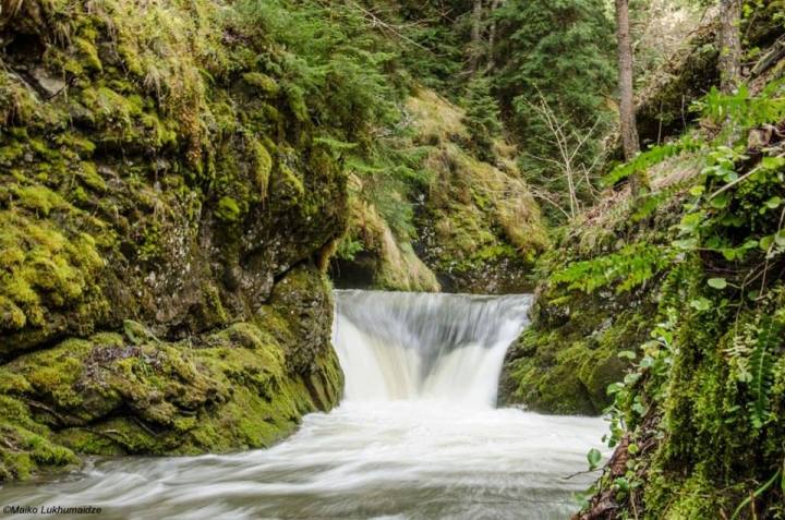
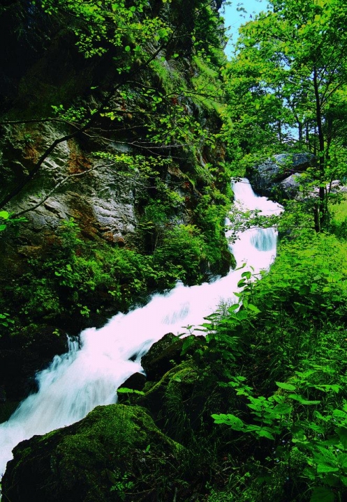
The trail starts in theLikani River valley near theLikani guard shelter, where visitors come across rare species of yew, included in the Red List;Yew has the longest life among the European trees. We come across 800-1000 years-old yew trees. After 2 km you will meet the national park map (930 above sea level) where the serpentine path goes along a mountain slope. The ascent continues approximately 3 hr on Nikoloz Romanov trail and then turns to #6 Nakvalevi trail with beautiful panoramic views. The scenery continues for an hour and then the route goes down to Kvabiskhevi valley by a steep descent, which starts 2 km from the #6 trail. The trail is relatively hard. The descent continues for 40 min followed by the beautiful scenery of theKvabiskhevi valley. TheKvabiskhevi valley is very beautiful in any season, and is distinguished by its biodiversity. At the end of the trail you will find picnic and camping places. Overnight is possible in tents. The village is 1 km away from the trail where you will have the opportunity to purchase local natural products.
Tentative schedule:
Day 1: Likani guard station – Kvabiskhevi guard station 13 km. on average 6 hr
7. National Park Information Trail:

/ 3 km, 2 hr, pedestrian, difficulty: average /
Main attractions: St. Nino church, scenery of Borjomi
The route starts from the administration building (850 m). It is about 1.5 hr.to go through the trail, while after a 600 m hard ascent the trail straightens and turns to the left where the circle is done and goes back to the same section. The highest peak of the trail is 950 m above sea level. You can arrange a picnic along the trail.
Tentative schedule:
Day 1: 1,5hr hiking from national park visitor center
8. Meghruki Valley:

/ 5.5 km, 6 hr, pedestrian and horse riding, difficulty: average /
Main attractions: river Meghruki canyon, Colchic subtropical forest
This trail starts at Sakhvlari tourist shelter and goes through theMeghrukiRiver valley. The slopes of the canyon are covered by Colchic subtropical forest, the length is 5.5 km.The Meghruki valley micro-climate offers you the possibility to escape from hot summer days and shelter in the cool environment which awaits you during the trail.
Tentative schedule:
You will have to visit #1 or #2 tourist trails where you can sightsee on the trail in case of overnight in Sakhvlari.
9. Shepherds' Trail:
/ 16 km, 7 hr, pedestrian and horse riding, difficulty: average /
Main attractions: Lomismta, Lomismta St, Giorgi church, scenic viewpoint with Caucasus scenery, Shepherd’s cabins, panoramic views of Lesser Caucasus
The trail links the #1 and #2 routes and two overnights in Amarati and Lomismta shelters are needed. The hike starts in the Likani River valley and you go 2 km while hiking on the plains where you will find the national park map followed by a serpentine path along the mountain slope. The ascent continues for approximately 3 hours. Then it runs through panoramic views and in the second half of the day it gets relatively easy. The first overnight is possible in theLomismta tourist shelter (1,800 m above sea level) or in the camping site.
The next day hiking is relatively long and hard. You will find the summer cabins of shepherds along the road, where they shelter domestic cattle in summer. The beginning and the end of the second day trail are ascents with parts of the plains. After an overnight in theAmarati tourist shelter.hiking becomes easier and then you go down to the Atskuri ranger shelter.
Tentative schedule:
Day 1: Likani guard station –Lomismta tourist shelter 15 km, on average 5-6 hr.
Day 2: Lomismta tourist shelter - Amarati tourist shelter 20 km, on average 7-8 hr.
Day 3: Amarati tourist shelter – Atskuri guard station 16 km. on average 5-6 hr.
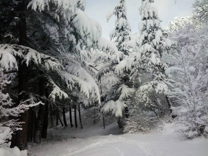
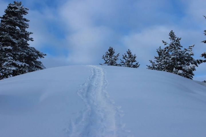
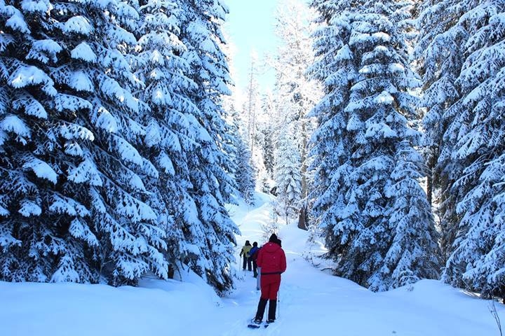
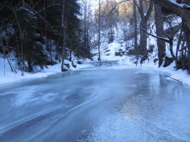
10. Snow Shoes Trail:

/ 15.5 km, 7 hr, pedestrian, difficulty: average /
Main attractions: evergreen forests covered by snow and views of Lomistma
The trail starts and finishes atLikani guard station. The first day trail is 8 km long. The shelter gives the possibility to make a fire and you should have enough of a water supply for the overnight.
The next day trail goes through panoramic views along coniferous forest and runs down the settlement of Likani.
Tentative schedule:
Day 1: Likani guard station – Chitakhevi guard station 8 km, on average 6-7 hr.
Day 2: Chitakhevi guard station - Likani guard station 7.5 km, on average 5-6 hr.
11. Snow Shoes Trail:

/ 6 km, 4 hr, pedestrian, difficulty: average/
Main attraction: Bezoar goat cage
The single-day route starts from the Atskuri ranger station and continues for 6 km. You can return to the section with the same road and if you desire, the route can be shortened.
Tentative schedule:
Day 1: Atskuri guard station – panoramic views - Atskuri guard station 12 km, on average 6 hr.
 GEO
GEO ENG
ENG RUS
RUS Forum
Forum