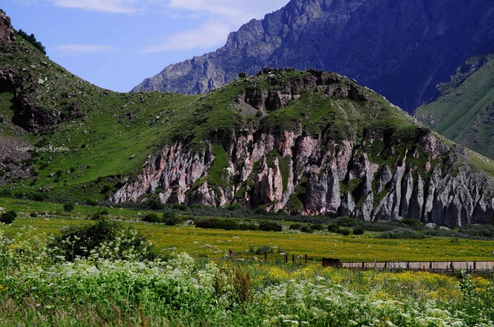
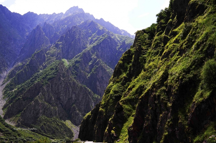
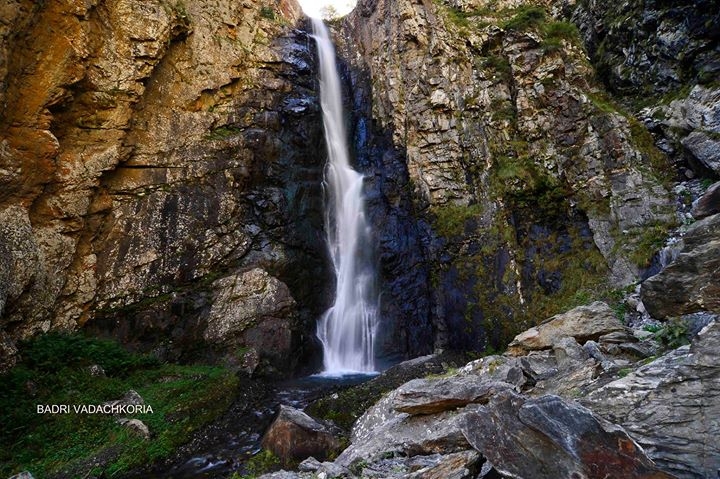
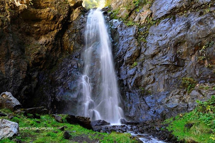
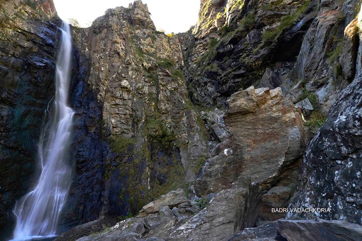
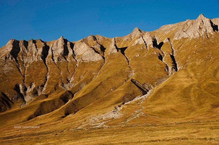
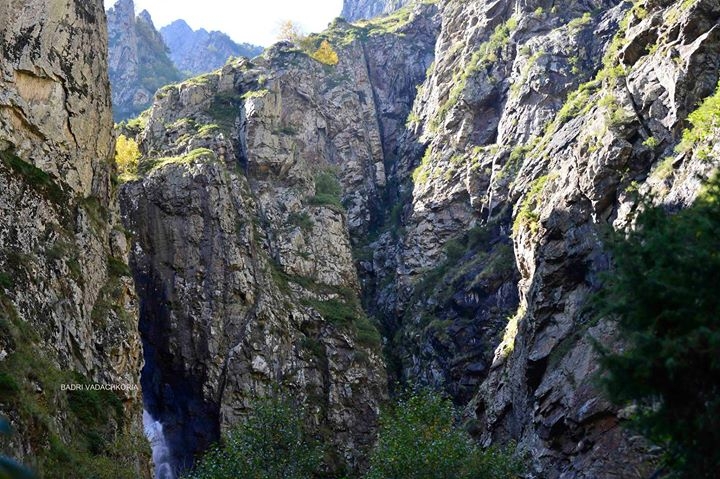
Dariali gorge looking like a canyon lies in northern Georgia, in the border belt with Russia, in the area of river Terek. It evolved from Paleozoic granite rocks which are part of the ultimate eastern volcanic process developed in the Central Kavkasioni some 300-400 million years ago. A gorge cut into volcanic rocks is narrow and has steep slopes. Its length is 11 kilometers and relative height exceeds thousand meters.
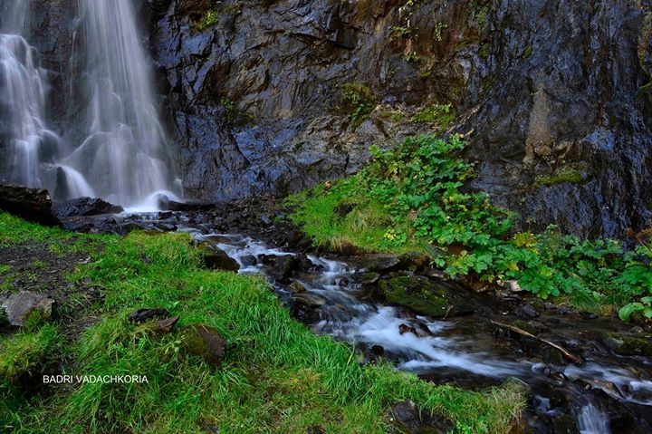
Within the gorge there are represented several types of landscapes, among them dominating is high-mountain paleoglacier, volcanic and erosion and denudation relief, pine-tree forest, sub-Alpine and Alpine meadows.
Darialani is a Persian word and means Gates of Alans (Ossetians). Georgians mention it under the name of Aragvi Gates, since earlier river Terek was called Aragvi. Other peoples called Dariali Dariela, Gates of Iberia, Gates of Caspian sea, Gates of Sarmatia, Gates of the Gorge and many other names.
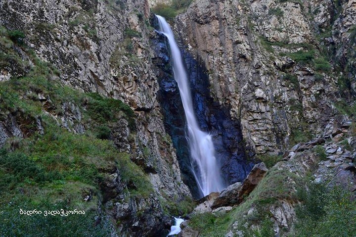
For the Caucasus Dariali gorge had ultimate military and geographic importance. It connected North and South Caucasus, however during centuries it was rather difficult transit communication. Landslides were frequent in winter and stone falls used to be the reason of its blocking in summer.
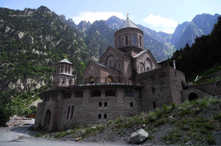
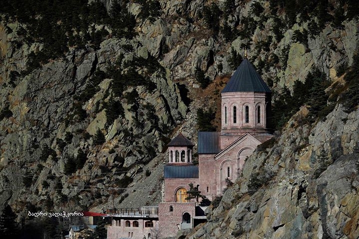
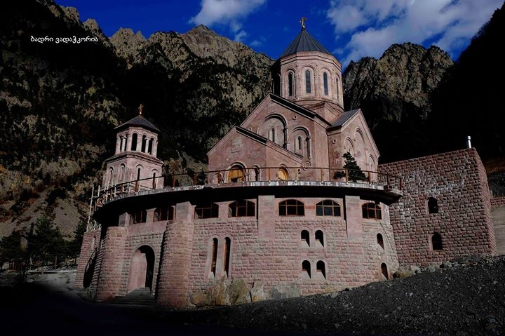
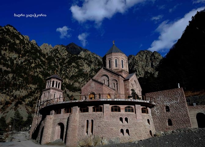
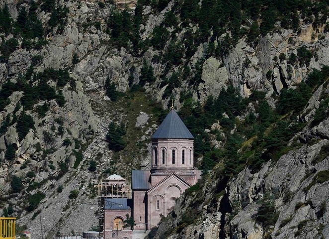
In Dariali Gorge in the first century Georgians erected military fortifications for self-defense from northern tribes. Nowadays the gorge is an object of constant supervision – an automobile road connecting Georgia and Russia was constructed here as well as a gas pipeline laid.
Klio Publishing House
www.klio.ge
 GEO
GEO ENG
ENG RUS
RUS Forum
Forum