Tsalenjikha municipality is situated on the border of Samegreloand Zemo Svaneti, in the gorge of rivers Enguri and Chanistskali.The moniker ‘Tsalenjikha’ derives from the name of ancient Colchis tribe – Chans (In local Megrelian language ‘Chanis jikha’, ‘Chanis
dikha’ means ‘Fortress of Chans’, ‘Land of Chans’). The territory of municipality appears to be inhabited from times immemorial. In
Middle Ages here was located the residence of Samegrelo rulers, the Dadiani family, their palace, depository and family vaults, while
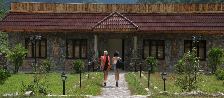
X century Tsalenjikha Church of Transfiguration of Christ was the chapel of the clan of Dadiani. Tsalenjikha is noted for its picturesque landscape and natural beauties. From recreational resources, resort area of Skuri situated 15 km away from Tsalenjikha, in the gorge of river Abanosgeli (the left tributary of river Chanistskali) is important. Historically, this place appears to be a well-known passage (narrow corridor between rocks). When enemies approached Tsalenjikha, population found refuge in the fortress of Skuri. There are several ruins of fortified structures in the territory of the gorge – fortress and lookout tower surviving up to the present. Skuri mineral waters were discovered by shepherds in 70-80ies of the XIX century. They noticed that live stock often circumvented water of the river and savored spring water. Peasants on whose land spring water was flowing out deliberately tried to conceal this fact, as they were afraid that nobles would evict them from the plot. Therapeutic properties of the water still became known to the people later on and Skuri was turned into a famous spa resort. In the course of the years thousands of people underwent rehabilitation treatment here. Water was bottled in the factory producing 5 million bottles of mineral water ‘Skuri’ per year. Nowadays resort infrastructure here is dismantled.
1. Okhoja, or Mtsire Tobavarchkhili (‘Silver Lake’). Most beautiful lake on the Southern slope of Egrisi ridge, at the beginning of river Khobistskali (2535 m above sea level). Surface area 0,21 km2, biggest depth - 35 m.
2. Slopes of Egrisi, or Samegrelo, Odishi range are covered with wide deciduous and pine-tree forests. The range of 62 km in length and 37 km in width covers the municipalities of Mestia, Tsalenjikha, Chkhorotsku, Martvili, Lentekhi and Tsageri. The highest peak is Lakumurash Dudi (3255 m). There are several karst massifs in its Southern strip: Tsulishi, Kvira, Migaria, Askhi.
Location: foot-hill of Egrisi ridge, gorge of river Chanistskali
Distance: 14 km from Tsalenjikha, 36 km from Zugdidi, 355 km from Tbilisi.
Sea level: 450-500 m
Landscape: plateau-like plain
Climate: low mountain zone of subtropical belt, winter mild, with no snow, summer very warm
Average annual precipitation: 1800-2000 mm
Average comparative annual humidity: 74% Duration of annual sunny light: 1943-2316 h.
Natural treatment factors: low mountain climate and chloride-sulphur calcium-sodium mineral waters with general mineralization — 1,7 g/dm3
Discharge: 70-80 thous. l/day
Types of therapy: mineral water baths and application (drinking), passive climate therapy
Diseases for treatment: digestion organ diseases, joints and peripheral nervous system disorders, chronic diseases of kidneys, urinary and bile systems.
 GEO
GEO ENG
ENG RUS
RUS Forum
Forum