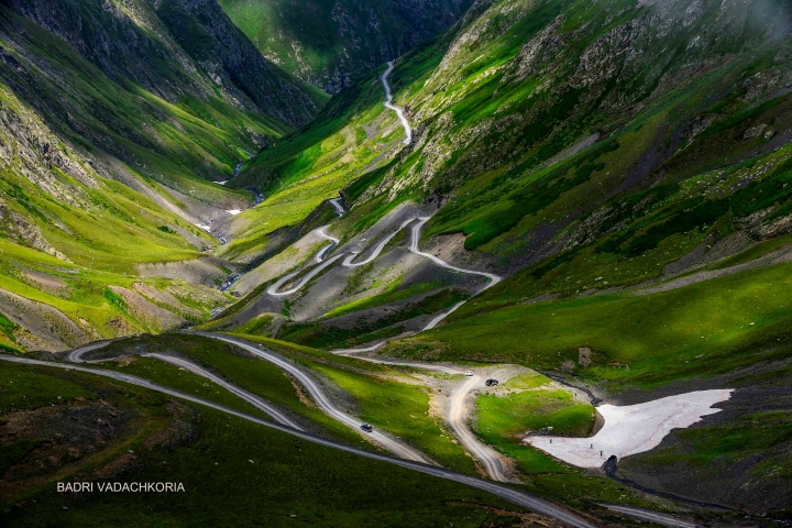
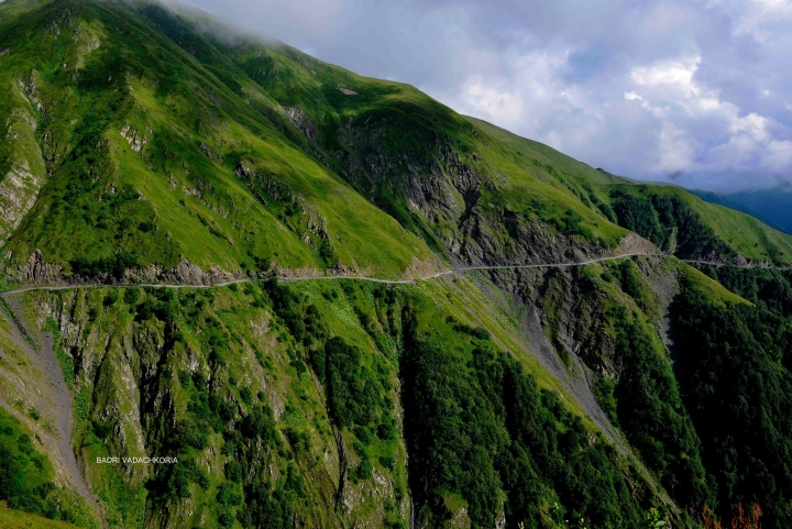
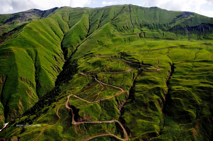
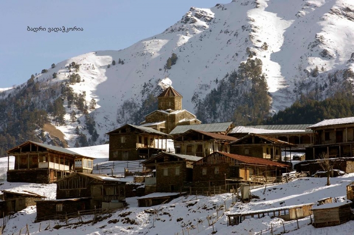
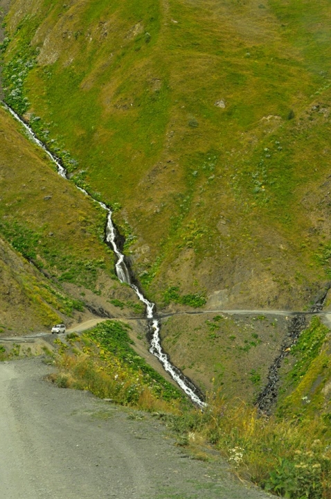
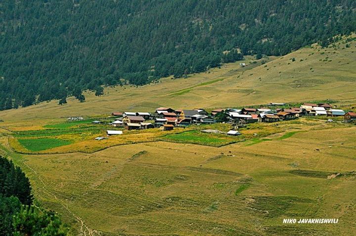
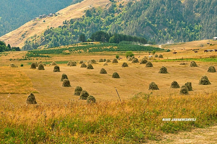
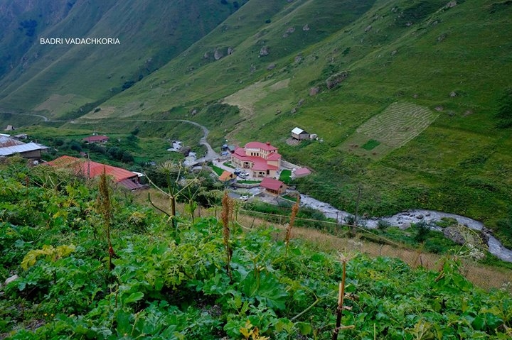
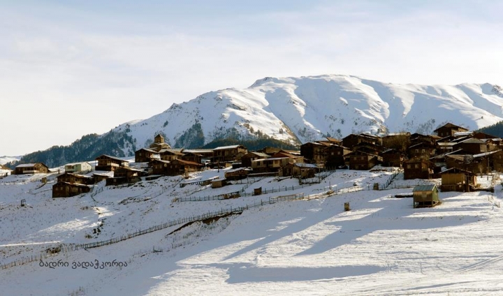
One of Georgia’s highest mountainous and difficult to reach provinces, Tusheti, is located in North-East of the nation, on Northern slopes of Kavkasioni mountain range, at 1650-4493 m above sea level. To the West it is bordered by Khevsureti, to the South – by Kakheti and to the North – by Russian Federation: Dagestan and Chechnya. From administrative point Tusheti is part of Kakheti region, namely, Akhmeta municipality. The only automobile road leading to Tusheti starts from Kakheti, in the village of Pshavli, and proceeds to the highest pass in Georgia – Abano pass to reach Omalo. This road is operable only for several months of the year – from May to the end of September and during this period it is cleaned several times from landslides and rock fall. Tushetians seem to have moved to this area in IV c. BC from Pkhovi (Pshav-Khevsureti), settled in river gorges and started their traditional business - sheep and cattle breeding. During centuries the region was intensively populated. Since the beginning of the XX century due to hard domestic conditions Tushetians started to move southwards to valleys and plains, across the Kavkasioni range, namely, to village of Alvani. In spite of the fact that majority of Tushetians return back to their native places in summertime, among scanty information in the historical annals with reference to Tusheti history, one of it provides a story of how Alvani, situated in Kakheti became the territory of Tusheti: in 1659 battle against Iranian invaders near Bakhtrioni fortress, Tushetians, Pshavs and Khevsuretians played a decisive role. King of Kakheti, Levan, in a bid to express his gratification to Tushetians, decided to make a present to them. Chieftain of Tushetians, Zezva Gaprindauli, asked the king to provide winter meadows in the valley. They made a deal according to which, land that would be covered by Zezva horse gallop at full speed without break, would be handed over to Tushetians. Galloping horse after battle fatigue fell on the ground near Takhtigora. Later on, the right of Tushetians to use these meadows was confirmed and legalized in the deeds of Kakheti kings Teimuraz II and Erekle I.
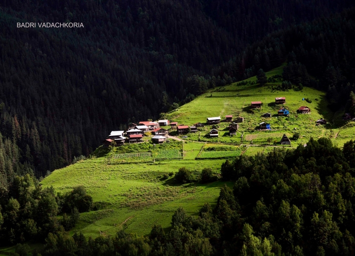
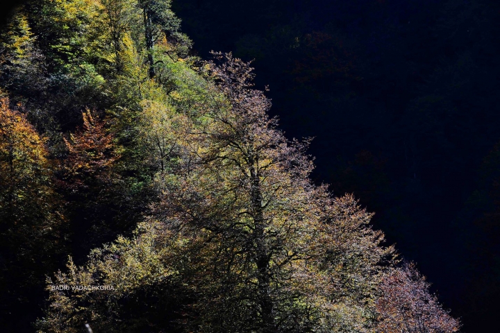
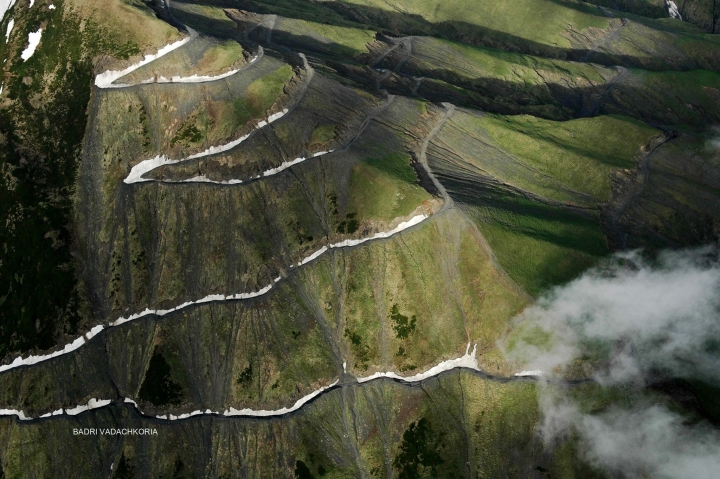
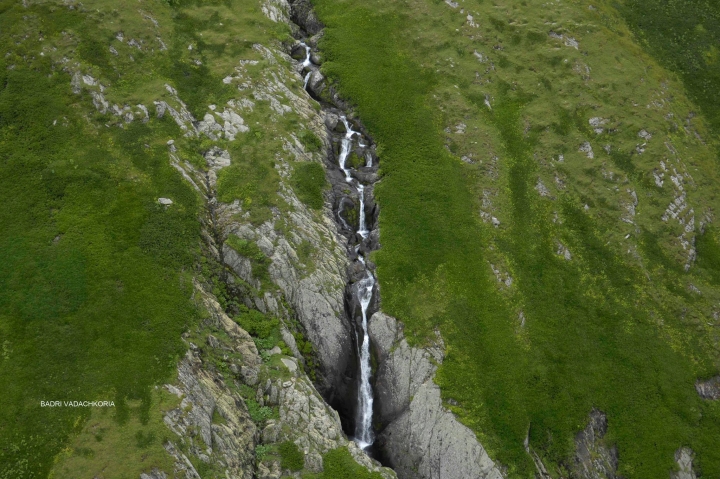
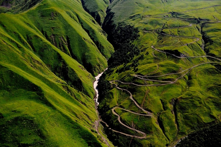
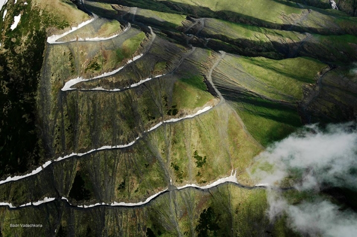
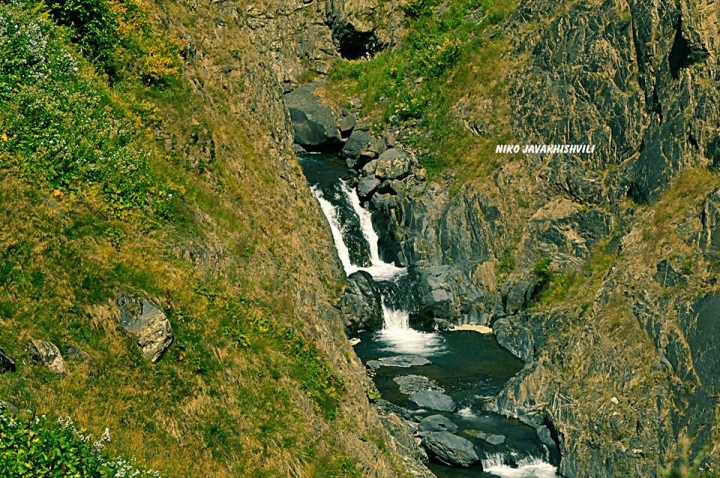
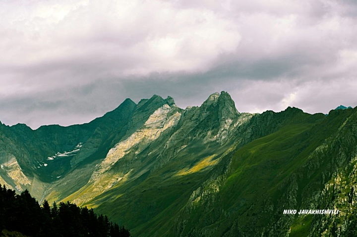
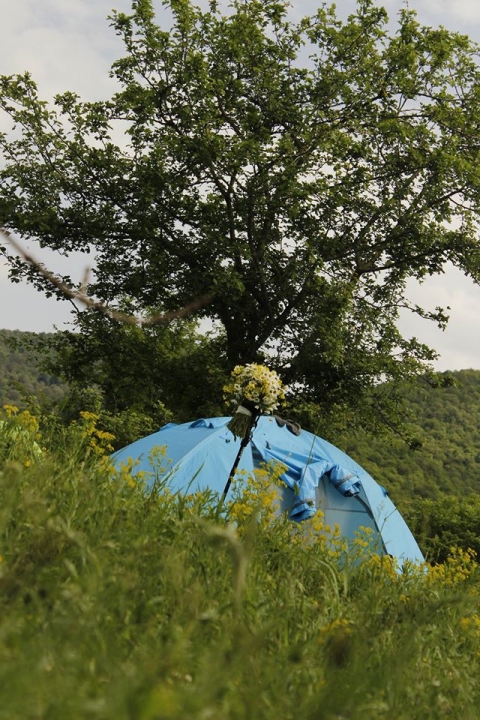
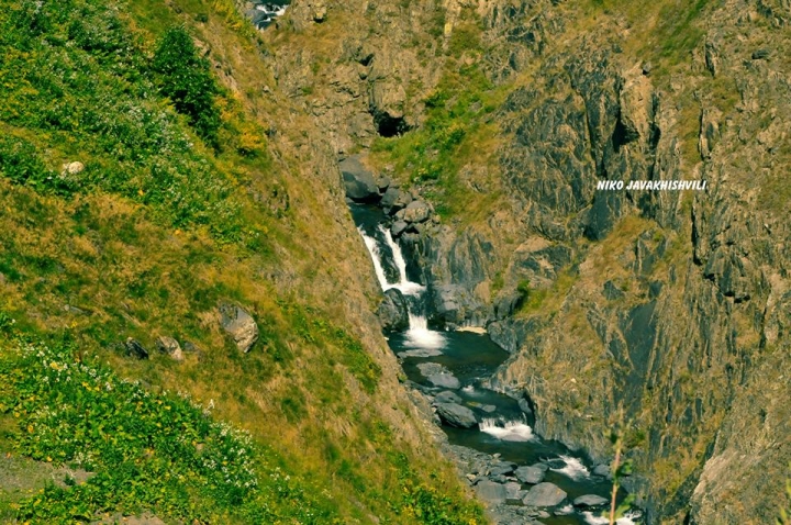
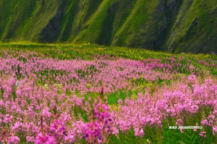
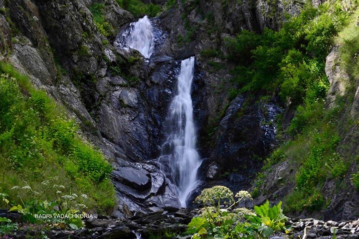
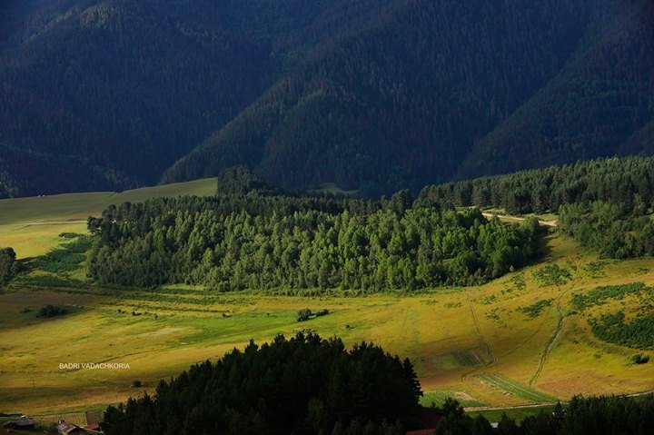
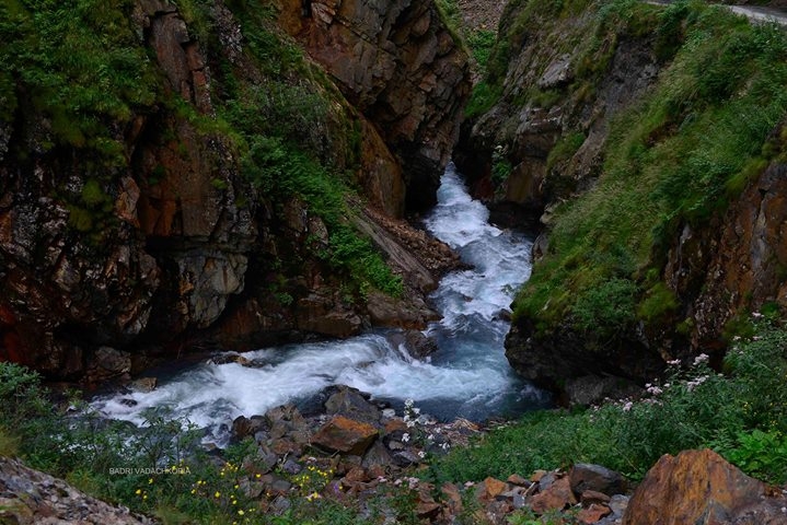
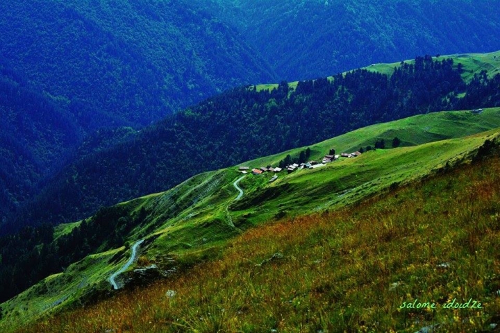
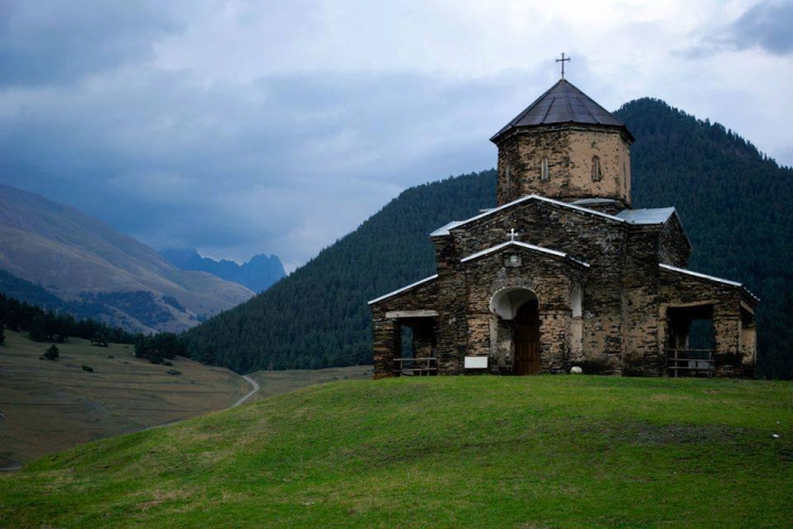
Tusheti is divided in two parts by Makratela slope: on one side is Gometsari gorge where Gometsari (Tusheti’s) Alazani river flows, and on the other side — Pirikita Tusheti with Pirikita Alazani. Rivers confluence site is in the environs of Shenako and flow to the territory of Russian Federation under the name of Andis Koisu. Here one can enjoy unique pine groves, breathtaking alpine and sub-alpine meadows, pristine rhododendrons, glaciers, Caucasian goat distribution areas, and remnants of villages. There are lots of small lakes with diameter of no more than 20 m, and marshlands which shaped up presumably as a result of drying of such small lakes. Some rivers partly freeze in winter. In the beginning of a road leading to Tusheti, near Abano pass, in the picturesque gorge of river Stori, in one spot there are outlets of 13 warm mineral waters. This place is called Torgva Baths, in commemoration of popular hero Torgva. The legend goes that once upon a time Torgva, wounded after combat with the enemy, came across a spring of warm water, drank it, bathed in it and was cured. To defend springs, Torgva erected a fortress at the beginning of river Stori while he used springs to heal his wounded comrades. For many years climatic spa resort was operated at the outlet of mineral waters where various ailments were treated with water baths and passive climate therapy.
1. Alvani is the first planned settlement in Georgia. While moving to the plain, Tushetians settled here in the same
environment as they used to live in the mountains – according to families, villages and communities: Tsova-Tushs in Zemo
(Upper) Alvani, and Chagma-Tushs – in Kvemo (Lower) Alvani.
2. In 2012, in Yahoo Travel and CNN Travel ratings ‘Unknown Places You Have Never Heard of But Should Visit’ – Tusheti was
placed on advanced positions in standings of top 10 (accordingly, on V and II positions).
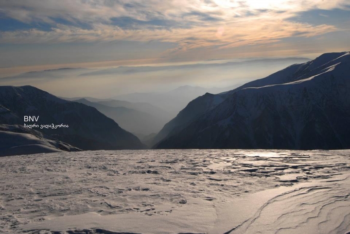
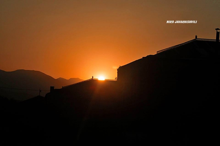
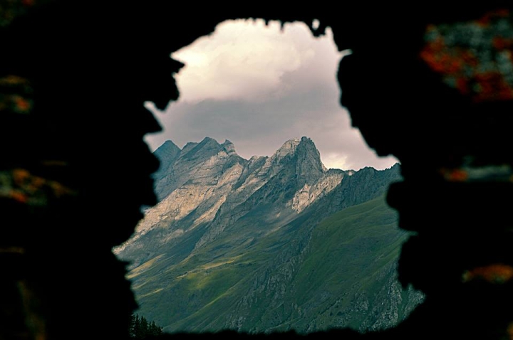
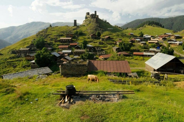
3. Abano Pass (2926 m above sea level).
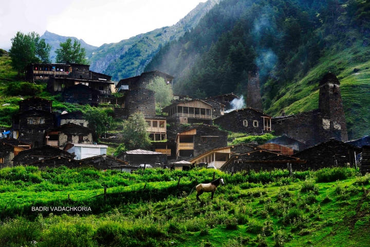
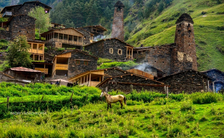
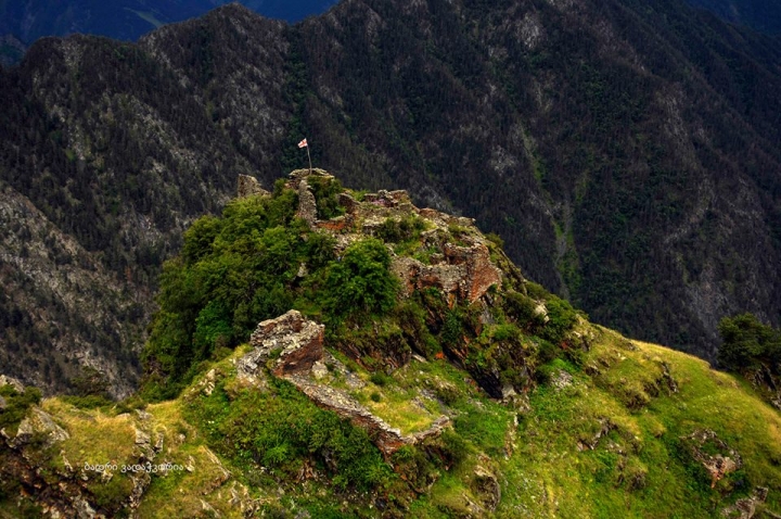
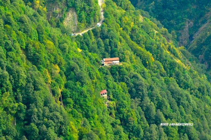
4. Girevi. Hamlet in Pirikita (Agma) community, 50 km away from the village of Omalo. According to rumors, 5-level tower of Girevi was built by Kist father and son.
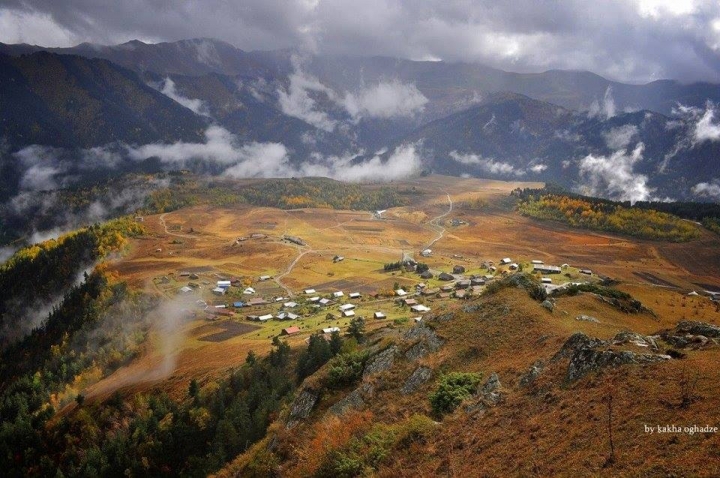
5. Kvavlo. Hamlet of Kvavlo in the community of Pirikita (Samtsikhi), approximately 20 km away from Omalo. In the end of
XIX c. there were 36 households in the hamlet. Starting from 20-ies of the XX c. the hamlet was gradually deserted.
Location: Southern slope of a main watershed of Greater Kavkasioni mountain range, gorge of river Stori
Distance: 55 km from Akhmeta, 65 km from Telavi, 145 km from Tbilisi.
Sea level: 1800 m
Landscape: mountainous
Climate: middle mountain (upper belt) climate, winter cold, with not very high snow cover, mean temperature in January 5 degrees centigrade; summer cool, dry, mean temperature in August 14,8 degrees centigrade
Average annual precipitation: 1400 mm
Average comparative annual humidity: 55%
Duration of annual sunny light: 2400-2500 h.
Natural treatment factors: middle mountain climate of upper belt and slightly sulfide chloride-carbonate and hydro-carbonate and sodium mineral waters with sulphur and silicon acid contents, overall mineralization — 0,4-0,6g/dm3 ;
Discharge: 350 thous. l/day.
Types of therapy: mineral water baths, passive climate therapy
Diseases for treatment: diseases caused by endocrine system and metabolism disorders, as well as musculoskeletal
system disorders, gynecological and urinary and sexual system disorders
 GEO
GEO ENG
ENG RUS
RUS Forum
Forum